
It’s been awhile since there’s been anything said about the mission Malaysian MH370 passenger jet, That’s good, because maybe it allows investigators to investigate. It’s potentially bad if the entire investigation has been dropped (doesn’t appear to be the case though–read about that, here).
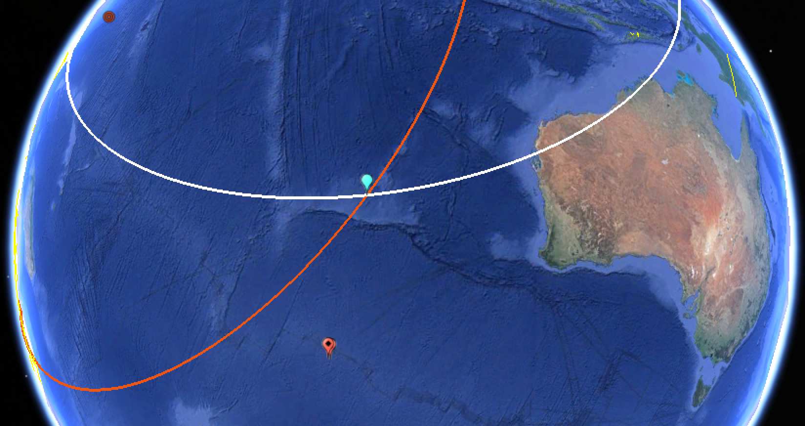
It appears that Space Safety Magazine has remembered the missing airliner and decided to re-explain, in an article published yesterday, why satellites really aren’t the solution to finding the airliner. The article brings up the problem that such a big area, in which the airliner disappeared, represents a problem for satellites. There are trade-offs of satellite imagery/remote sensing payloads covering a large area with relatively low resolution, or covering a small area with great fidelity. For an explanation about why there’s trade-offs, please go to one of my lessons about them, here.
What I didn’t know is that China activated the UN Disaster Charter to help with searching for MH370. The Charter is primarily meant to allocate satellites from different countries and companies to help countries facing major disasters, like earthquakes, typhoons, and flooding. It’s unusual, and perhaps inappropriate, to activate it for a missing airliner. It might have been a knee-jerk response by China to it’s citizens, perhaps to appear like it’s “doing something” to help find MH370. If you would like to learn a little bit more about the Disaster Charter, you can read about it, here.
But if all of what Space Safety Magazine has posted sounds a little familiar, it may have been because you’ve already read a bit more in-depth about why satellites are limited in their search for MH370 in my March 16 post for Clearancejobs.com. There’s also a bit more about the issues with InMarSat’s analysis of their data from The Atlantic, here. If you haven’t read either one, I recommend reading them.
The Space Safety Magazine post also notes that information regarding military satellite observations–or the lack of information about them–certainly hasn’t been forthcoming or supporting the search very well. I did note that Space Based InfraRed System (SBIRS)/Defense Support Program (DSP) satellites were reported as not seeing any explosion in the area being searched. But not much else has come to the fore from “national technical means”–from any country.
But after all the exposition, the post comes to the same conclusion I gave about the question of whether satellites will be able to detect and pinpoint wayward airliners: it is still a wishy-washy “It depends.”
